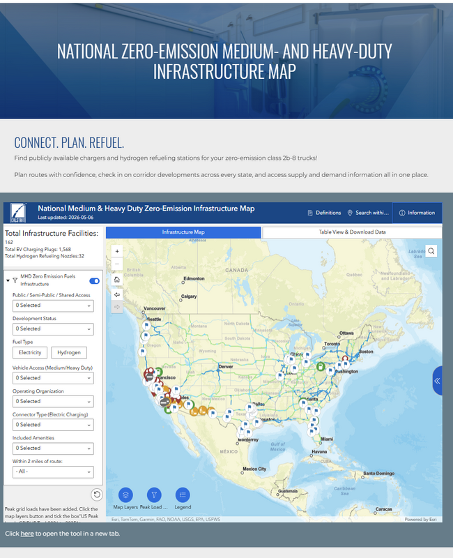
National Medium & Heavy Duty Zero-Emission Infrastructure Map
Indrani Malhotra2026-05-07T11:13:24-04:00Find publicly available chargers and hydrogen refueling stations for your zero-emission class 2b-8 trucks!
Find publicly available chargers and hydrogen refueling stations for your zero-emission class 2b-8 trucks!
Thinking about buying an electric vehicle? This tool helps you figure out whether EV ownership will feel easy, manageable, or frustrating based on where you park, where you charge, and how much you drive [...]
The purpose of this site is to provide spatial data and related information to support planning activities for new electric vehicle supply equipment or electric vehicle charger infrastructure for Washington state. The interactive map is an exploratory tool to view roughly 100 data sets. All data, with few exceptions were publicly sourced, and are available for download via the map layers or from the Data menu. This site contains forecasted or modeled data sets but does not offer tools to perform modeling or forecasts.
The EV Equity Roadmap tool is a free mapping tool to inform equity-oriented site selection for EV and e-mobility infrastructure investments. It enables local agencies, stakeholders, and developers to engage in discussions about high-priority sites for investment, using a novel approach to integrate locally relevant infrastructure and equity geospatial data layers.
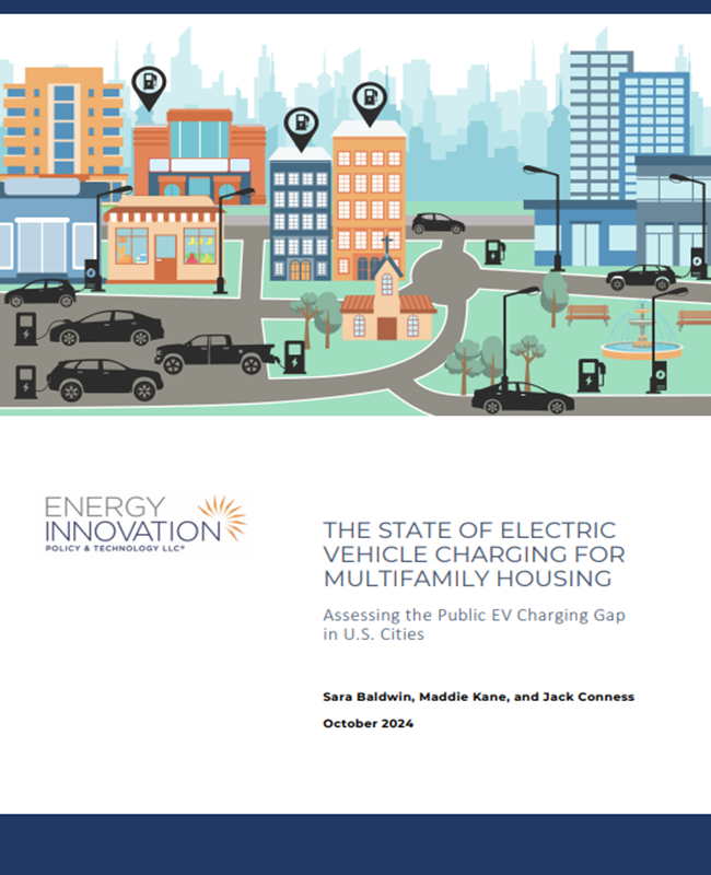
This analysis ranks the best and worst cities for EV drivers living in multifamily housing and offers policy recommendations for improvement.
Dashboard for Rapid Vehicle Electrification, or DRVE, is a powerful tool that equips users with decision-relevant information on the financial viability and environmental impact of light-, medium-, and heavy-duty vehicle fleet procurements across an entire fleet.
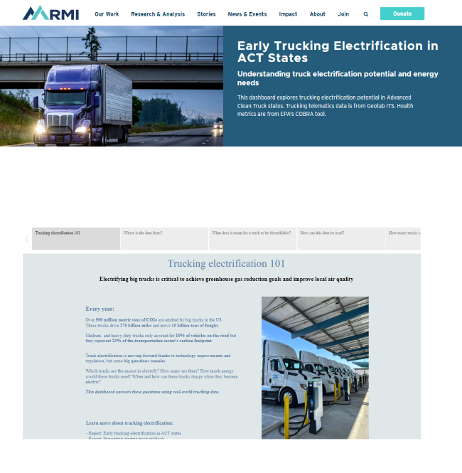
This dashboard explores trucking electrification potential in Advanced Clean Truck states. Trucking telematics data is from Geotab ITS. Health metrics are from EPA's COBRA tool.
Kevala's NEVI Parcel Finder Dashboard allows you to scan a state to discover qualified parcels for the development of EV charging.
The Fleet Procurement Analysis Tool equips users with decision-relevant information on the financial viability and environmental impact of light-duty vehicle fleet procurements. The Microsoft Excel-ba...
CALSTART's Delivery FLEET 1.0 software tool aids delivery companies in calculating the benefits of transitioning to zero-emission, first/last-mile delivery vehicles.